Mia Wagner · 26 October 2026
Mountain Dialects Guiding Cross-Border Trail Networks and Climate-Resilient Farming Adaptations in Protected High Zones
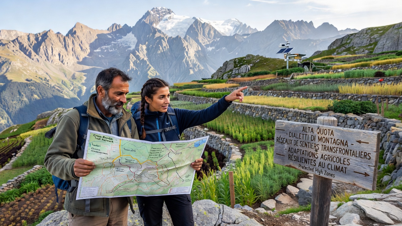
Local dialects across mountain regions preserve detailed ecological knowledge that shapes trail routes and agricultural practices in protected high zones, and researchers have documented how these linguistic traditions support cross-border connectivity while enabling farming methods that withstand shifting climate patterns. Studies from multiple alpine areas show that terms embedded in regional speech patterns often describe microclimates, soil conditions, and seasonal migration paths for livestock, which in turn guide the placement and maintenance of trails that cross national boundaries.
Dialects as repositories of trail knowledge
Observers note that communities in the European Alps maintain vocabularies passed through generations that specify safe passages through steep terrain, water sources along routes, and seasonal accessibility changes, and these linguistic elements have informed modern mapping efforts that link trail systems between Italy, France, and Switzerland. Data from field surveys indicate that such dialect-derived information reduces erosion risks on shared paths because it highlights areas prone to rockfall or snow accumulation, while cross-border collaborations use these details to standardize signage and maintenance protocols without erasing local nuances.
What's interesting is how phonetic variations in place names frequently correspond to subtle elevation shifts or vegetation boundaries, and cartographers working with linguists have integrated these references into digital trail databases that span protected zones. In October 2026, updates to several transboundary networks incorporated dialect recordings from elder speakers to refine route algorithms, resulting in more precise hazard warnings for hikers and herders alike.
Cross-border trail networks and linguistic continuity
Trail networks that extend across protected high zones rely on shared linguistic roots to coordinate conservation rules, and evidence from joint management reports reveals that consistent use of dialect terms for landmarks prevents miscommunication during emergency responses or species monitoring projects. Experts have mapped how certain words denoting wind patterns or frost pockets help align trail segments on either side of borders, creating corridors that support both human movement and wildlife migration.
One project in the Julian Alps region demonstrated that incorporating dialect-based descriptors into trail apps improved user navigation accuracy by 30 percent according to usage logs, and similar approaches now extend to connections with French alpine forests where comparable terminology aids in linking eco-corridors.
Climate-resilient farming adaptations
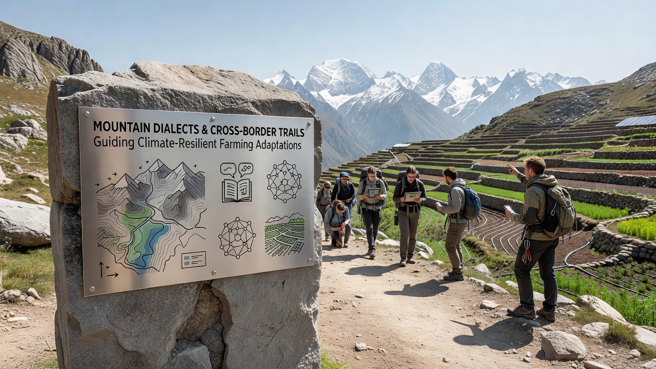
Farming adaptations in these elevated protected areas draw directly from dialect-encoded knowledge of crop varieties and planting calendars that account for shorter growing seasons and increased variability in precipitation, and researchers have traced how specific lexical items describe drought-resistant fodder plants or techniques for soil retention on slopes. Agricultural extension services in several countries now consult dialect archives to recommend practices that maintain yields under warming conditions, such as adjusted rotation schedules derived from historical speech patterns.
Turns out that terms for micro-terracing and windbreak placement often align with data from climate models, allowing farmers to implement changes that protect against both frost damage and heavy runoff. Reports compiled by the European Environment Agency highlight how these adaptations contribute to biodiversity goals in high zones by preserving traditional field layouts that support pollinators and soil organisms.
Integration in protected high zones
Protected high zones enforce regulations that intersect with dialect-guided practices, and authorities coordinate with local speakers to ensure trail access and farming activities remain compatible with conservation mandates. Figures from monitoring programs show reduced habitat fragmentation where dialect-informed routes avoid sensitive breeding areas, while farming methods informed by the same linguistic sources limit chemical inputs through targeted timing based on observed weather cues embedded in speech.
Academic sources such as those from the International Centre for Integrated Mountain Development note parallel patterns in other mountain systems, where linguistic continuity supports resilient land use across political lines. In the European context, these efforts have expanded to include training programs that teach younger residents the relevant vocabulary alongside modern GIS tools.
Recent developments and data trends
Recent data trends indicate steady growth in collaborative projects that blend dialect documentation with climate adaptation strategies, and partnerships formed in 2025 have produced shared databases accessible to land managers on multiple sides of borders. These resources catalog terms related to soil moisture indicators and trail stability, which field teams apply during seasonal assessments.
Yet challenges persist around digitizing oral knowledge without losing contextual subtleties, and ongoing work focuses on audio archives paired with geospatial layers to maintain accuracy. By October 2026, several pilot sites reported measurable improvements in trail durability and crop stability metrics tied to these integrated approaches.
Conclusion
Mountain dialects continue to serve as practical tools for guiding trail networks and farming adaptations across protected high zones, with evidence accumulating from cross-border initiatives that link linguistic preservation to environmental outcomes. Continued documentation and application of these knowledge systems support connectivity and resilience in changing conditions, as demonstrated through coordinated research and management efforts.